September 8, 2026
Storm Damage Claims: File With Your Insurer First
- File your own claim: If a neighbor's tree damages your North Carolina home, you must start the insurance process regardless of where the tree...

Created by Janessa Trafford
Real-time statewide severe weather alerts and post-event coverage for North Carolina
Explore the latest content tracked by North Carolina Storm Alerts
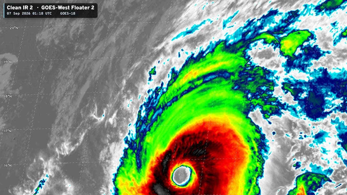
The Atlantic stays completely shut down through peak season with no tropical systems expected into mid-September, suppressed by El Niño and a massive...
Hurricane Fran, a Category 3 storm that made landfall near Cape Fear on September 5, 1996, delivered severe impacts far inland—hurricane-force winds...
No tropical alerts are active for North Carolina beaches as of September 8, 2026, even as surf, rip-current, and beach hazard statements remain in effect for spots like the Outer Banks and Carteret County. Local officials still decide any closures.
September marks National Preparedness Month in North Carolina, with officials urging families to prepare now for hurricanes, flooding, and other...
Hurricane Fran struck North Carolina on Sept. 5, 1996, as a Category 3 with 115 mph winds, battering the coast before carving a path of destruction...
Meteorologist Alex Williams shares the latest on extreme heat affecting the Triad, highlighting risks to resident health and daily activities.
Low probability of widespread hazardous weather holds for northwest North Carolina counties including Watauga, Ashe, Alleghany and Wilkes today and tonight. Severe thunderstorm chances begin Thursday north of US 460.
Many residents had no idea they faced landslide risk during Helene, prompting questions on whether risk data exists, is freely available, and how communities can prepare for future storms.
Helene delivered a deadly landslide lesson that will happen again, with maps showing nearly half the US at risk. Western NC communities should use these tools to prepare for future heavy rains.
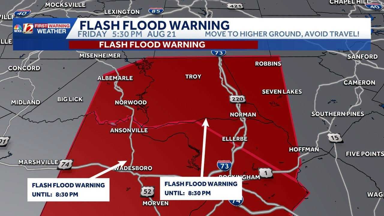
Flash flooding is ongoing in central Scotland County after 2-4 inches of rain, with dangerous road conditions, rising water in creeks and urban areas,...
Residents in Watauga, Ashe, Alleghany, and Wilkes counties should watch for a few storms this afternoon and evening that could turn severe, bringing damaging winds and localized flooding. Spotter activation is not expected.
Marking 30 years since Hurricane Fran devastated North Carolina:
A broad Southeast storm risk quickly narrowed to a direct threat for eastern North Carolina.
Forecasts had warned of thunderstorms reaching the...
Severe thunderstorms are moving east at 30 mph through Cumberland County with 60 mph wind gusts and penny-sized hail until 6:30 a.m. Move to an interior room on the lowest floor and avoid windows.
North Carolina residents face rising lightning risks just as Atlantic hurricane activity typically surges.
NWS Raleigh issued a severe thunderstorm warning for Alamance and Orange counties until 1130 PM EDT.
Torrential rains at 3-5 inches per hour triggered a flood advisory for Asheville until 9:30 p.m., with nuisance flooding already pooling on roads like...
Severe storms are hitting North Carolina with flash flooding and high winds across the Piedmont Triad, where rainfall could reach two inches per hour...