August 9, 2026
Wildfire Updates Hit Tonasket Area
Two major fires threaten Okanogan County residents this weekend.
- Sinlahekin Fire stays active 12 miles west of Tonasket with 1,700 personnel on...

Created by Rae Morris
Local headlines on crime, weather, wildfires, road conditions, and community events for Tonasket
Explore the latest content tracked by Tonasket Community Updates
Two major fires threaten Okanogan County residents this weekend.
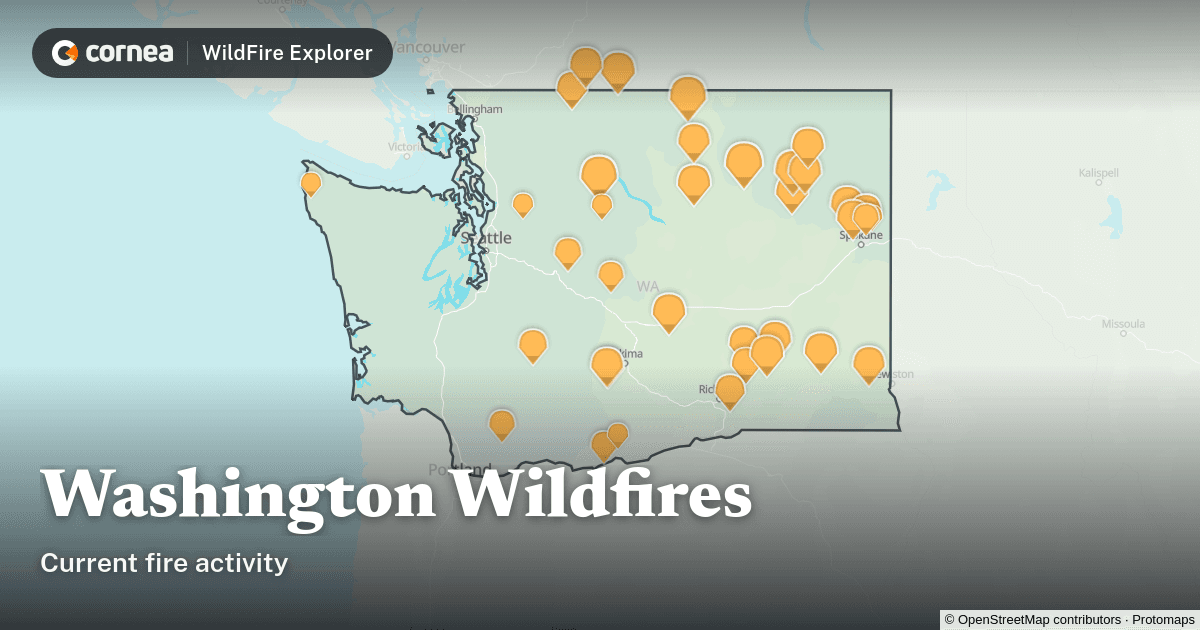
Fire status: East-side evacuations reduced near Tonasket while new Level 3 zones added west near Lone Frank Pass Road; activity growing north/west...
Wildfire smoke has settled across Washington State and the Inland Northwest, triggering air quality alerts and leaving residents dealing with muggy,...
A fire contractor received a criminal citation after allegedly entering outbuildings on private property during the Sinlahekin Fire and sharing...
Governor Ferguson declared a statewide wildfire emergency on Aug. 1 due to drought, heat and winds, banning most outdoor burning through Sept....
The Sinlahekin Fire ignited July 26 by lightning 19 km west of Tonasket and rapidly expanded to 102,934 acres by Tuesday, August 4, with only 5%...
Tonasket residents can monitor the Sinlahekin Fire—now at 102,934 acres and 5% contained—along with Level 2 and 3 evacuation orders near Palmer...
Washington is one of only three states with permanent, year-round wildfire smoke protections for outdoor workers, a direct win for Tonasket's...
FEMA approved federal grants covering up to 75% of firefighting costs for the Sinlahekin Fire in Okanogan County and two Spokane County fires.
-...
The Little Giant Fire exploded by nearly 13,000 acres over the weekend, reaching 51,298 acres with 0% containment and 1,824 structures now...
The Sinlahekin Fire ignited July 26 and has since exploded from 10,527 acres on July 30 to 73,794 acres by August 2 with 0% containment. Strong winds...
Recent cases highlight safety concerns even as data shows Tonasket remains safer than most communities.
A first-ever “Particularly Dangerous Situation” red flag warning covers the Okanogan Valley through Saturday evening, with winds gusting to 50 mph...
Oregon and Washington face their worst fire season since at least 2000, with 85 large fires burning nationwide at Preparedness Level 5.
The Sinlahekin Fire, located roughly 20 km west of Tonasket, now covers 24,380 acres and is expanding northward. While Osoyoos faces no direct danger, shifting northeastern winds may bring decreased air quality and falling ash to the area.
Air quality alert covers Tonasket and Okanogan County due to wildfire smoke until further notice.
Prepare now to stay linked during evacuations. These steps keep Tonasket residents informed and safe.
A fuels reduction project kept one family ranch standing in Okanogan County during wildfire. The success offers a clear example of proactive prep for other local landowners.